Paleokastro Fortress
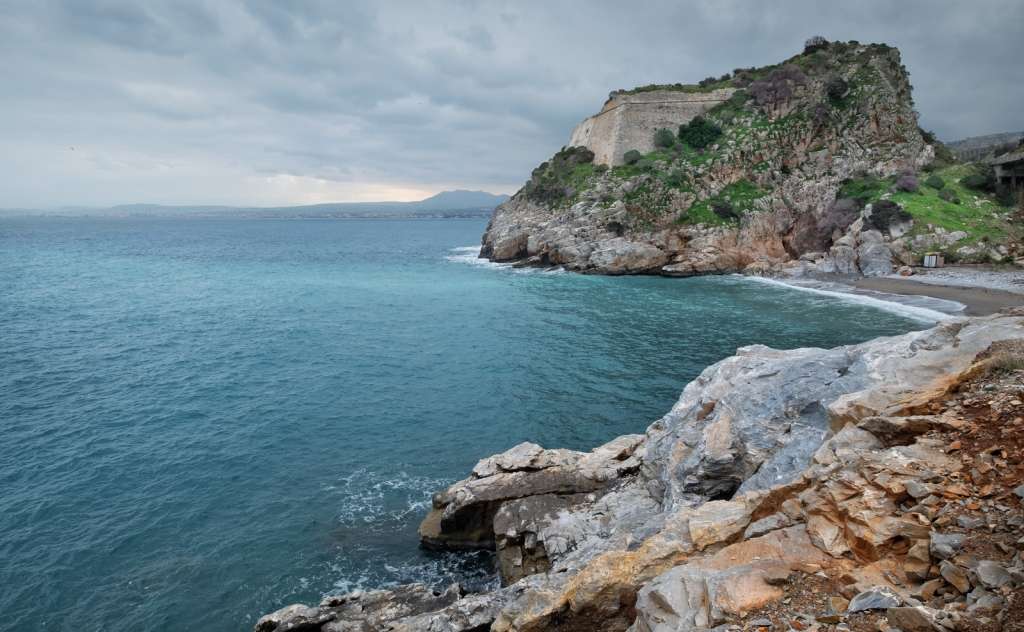
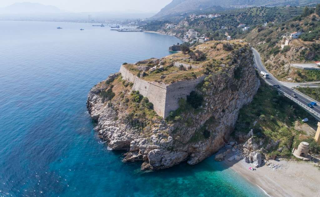
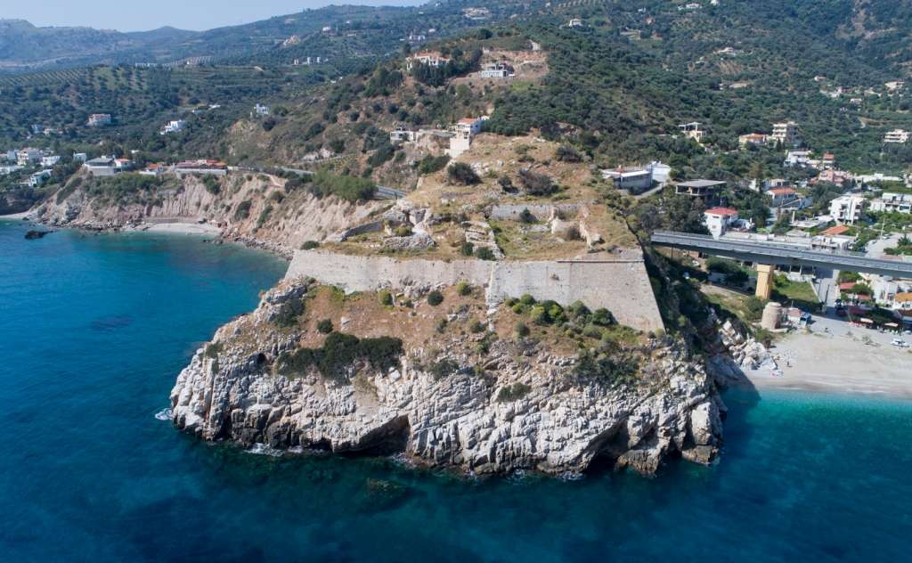
The fortress of Paleokastro is 7 km from Gazi. It is built on a high rock of strategic importance above the homonymous beach. According to testimonies, it is built on the ruins of the ancient city of Kythion or Elea. Its Venetian name was Malvecino, which translates as "bad neighbour".
The fortress belongs to the famous 14 castles built by the Genoese, led by Enrico Pescatore (with the hereditary title of admiral, later Count of Malta and, unofficially, leading pirate), after 1024 to fortify Crete. In 1211, however, they lost the rule of the island from the Venetians and abandoned it. The Venetians "remembered" the castle in 1573, when the Turks started spreading in the Mediterranean, so they rebuilt it. The fortress of Paleokastro was built in 1595 according to the Venetian general’s suggestion, Latino Orsini, who was the most famous condottiere (commander of a mercenary army) and a fortification engineer of the 16th century. The fortress was a necessary complementary construction of the great Medieval fortification of Chandakas (Heraklion), as it contributed to the creation of crossfire that prevented the approach of enemy ships. It decisively contributed to the defence of Chandakas during its over-twenty-year siege by the Ottomans (1647-1669), which is recorded as the most prolonged siege in world military history. The Turks captured the fortress and then destroyed it so the enemy would not use it again.
The construction of the fortress seems to have been expensive. In addition to the work done by the locals who were used on the project, it cost many thousands of gold coins to the central treasury of Venice. In 1602, the reconstruction of the fortress had not yet been completed, as can be seen in Foreman Benedetto Moro’s report, who wanted to equip the fort's defence with effective weapons. In 1602, the fortress was defended by forty soldiers led by a captain. In 1630, according to Foreman Pietro Giustiniano’s report, the construction work of the fort was completed. In fact, the fortress was equipped with effective firearms, capable of striking (as he characteristically states) all kinds of ships up to Almyros.
The fortress of Paleokastro, triangular in shape, had three squares with shields (parapetti), barracks, a garrison, a church, ammunition depots and the necessary water tanks. These three levels are vividly attributed to the Atlas of the Italian cartographer Francesco Basilicata, created in 1618-1619. Today, all the facilities are dilapidated and partly into the ground, and only part of its walls survive. The barrier to the sea is raised, in comparison with the other sides, in order to compensate for the steep slope of the rock. According to the requirements of the new fortification art of the time, the fortress walls had an inward inclination to withstand the bombshells.
The castle's gate was located on the south side of the fortress. It is a gate of unique architecture where half is carved on the rock, and the other half is built. Northeast of the fortress (and to be seen from a distance), the winged lion of St. Mark is integrated into the central masonry. A similar emblem can be found at the castle of Koule. It should be noted that a small church dedicated to Saint Mark has been built with the ruins of the fortress. The church is operated by the parish of Rhodia on the Holy Tuesday before Easter.
Finally, the fortress of Paleokastro was mapped and studied for the first time by G. Gerola, who photographed and depicted it at the beginning of the 20th century.


